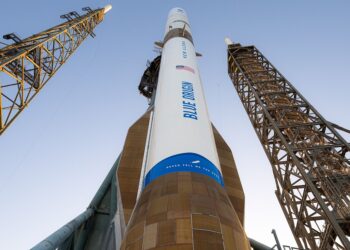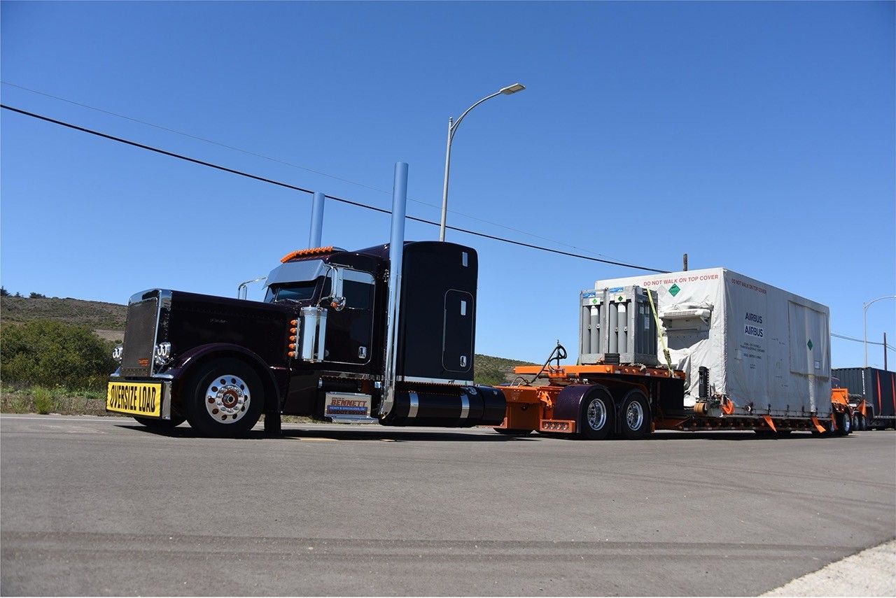
The Sentinel‑6B ocean‑topography satellite has arrived at Vandenberg Space Force Base, California, to begin launch campaign activities for a SpaceX Falcon 9. As the second satellite in the Copernicus Sentinel‑6/Jason‑CS series, it will extend the high‑precision global sea‑level and ocean‑circulation record established by TOPEX/Poseidon, Jason‑1/2/3, and Sentinel‑6 Michael Freilich, supporting climate monitoring and improved weather and marine forecasting.
Why this matters
- Continuity of the multi‑decade sea‑level rise record critical for climate assessments and policy.
- Improved ocean circulation data that feed numerical weather prediction and marine services.
- Better understanding of coastal impacts, marine heatwaves, and El Niño/La Niña dynamics.
What happens next (typical prelaunch flow)
- Post‑shipment inspections and electrical/functional checkouts in the payload processing facility.
- Propellant loading (monopropellant) and final environmental verifications.
- Mating to the payload adapter and fairing encapsulation.
- Transport to SLC‑4E and integration with the Falcon 9 launch vehicle.
- Launch rehearsal activities (e.g., wet dress or static fire as required by the launcher).
- Launch, orbit acquisition to the Jason‑class ground track (~10‑day repeat, ~1336 km, ~66° inclination), and commissioning.
- Tandem inter‑calibration phase with Sentinel‑6 Michael Freilich before mission handover.
Partners and payload highlights
- Program partners: ESA (for the EU’s Copernicus), EUMETSAT, NASA, NOAA, the European Commission, and CNES.
- Key instruments: Poseidon‑4 radar altimeter (SAR mode for finer along‑track resolution), Advanced Microwave Radiometer (AMR‑C) for wet‑tropospheric correction, GNSS Precise Orbit Determination receiver, DORIS, and a Laser Retroreflector.
Learn more
For the latest status and campaign updates, see the NASA mission blog: NASA Sentinel‑6B update.