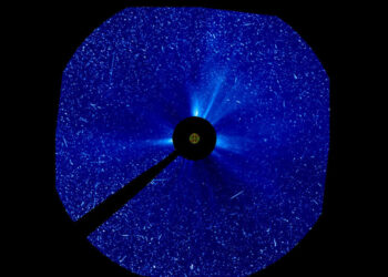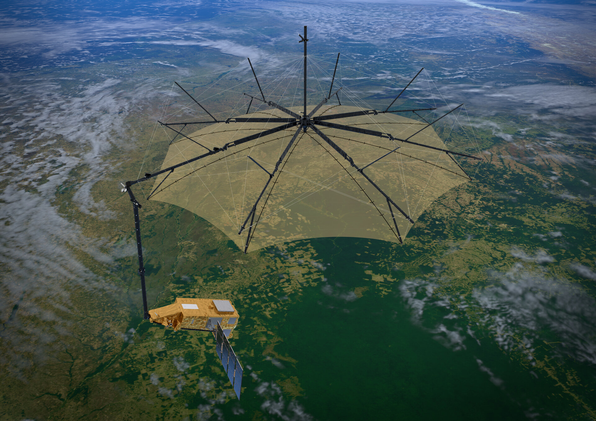
Europe’s Biomass satellite has begun a global effort to quantify the carbon stored in the world’s forests, following its launch on 29 April aboard a Vega-C rocket from the Guiana Space Centre. Developed by the European Space Agency with strong support from CNES and a broad research community, the mission is the first to fly a spaceborne P-band radar, designed to retrieve key biophysical variables that define forest structure and carbon stocks.
How P-band sees through the canopy
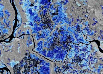
Biomass operates at approximately 435 MHz with a wavelength near 70 cm, allowing radar signals to penetrate foliage and interact with branches and trunks, reaching depths of up to roughly 40 meters in dense forests. Instead of producing conventional images, the mission focuses on retrieving quantitative parameters from the radar signal. Dedicated processing chains are designed to correct for ionospheric and environmental effects and to convert radar returns into geophysical measurements relevant to the carbon cycle and climate modeling.
Core data products
The mission will generate four primary products intended for wide scientific and policy use:
- Above-Ground Biomass (AGB) expressed in tonnes of carbon per hectare.
- Forest height, enabling three-dimensional assessments of structure.
- Forest disturbances detected through repeat coverage, including deforestation and fire impacts.
- Digital Terrain Model (DTM) beneath dense vegetation, revealing underlying topography.
To minimize signal disturbances linked to plant water dynamics, the satellite overflies target regions near 6:00 a.m. local time. Repeated observations will enable time-series analyses to track changes and refine biomass estimates, and will be complementary to other missions such as NISAR.
Built by and for science
Biomass was conceived to answer specific scientific questions about forest carbon and structure. Years of preparatory work anchored the mission’s approach, including airborne campaigns like TropiSAR and surveys in Central and West Africa that demonstrated the feasibility of mapping forest structure in three dimensions with P-band radar. These efforts informed instrument design, observation strategy and the development of inversion algorithms that translate radar measurements into AGB and height across diverse forest types.
Ground truth and a global inventory
Extensive field measurements underpin the mission’s calibration and validation. Through the GEO-TREES initiative, research teams are assembling standardized datasets—such as tree height, trunk diameter and species composition—across global plots. This harmonized corpus enables cross-comparison and consistent validation of satellite products, strengthening the reliability of biomass maps intended for climate assessments and national reporting.
Beyond forests
While designed for forest science, the long-wavelength radar may also reveal features hidden beneath ice or dry sand, such as buried channels or subglacial structures, opening ancillary avenues for geoscience. These secondary targets will not detract from the mission’s central objective of quantifying forest carbon and structure with unprecedented coverage.
What to watch next
Following launch, Biomass is proceeding through commissioning, calibration and validation before routine data release. Its datasets are expected to support carbon accounting, inform land-use policy, and refine climate models by providing consistent global measurements of forest biomass, height and change. The mission’s results will be closely watched by both the scientific community and stakeholders in conservation and sustainable resource management.
Source: CNES