The Copernicus Sentinel-1D radar satellite lifted off on 4 November 2025 at 22:02 CET aboard an Ariane 62 from Europe’s Spaceport in Kourou, securing continuity for Europe’s flagship C-band radar imaging mission. Following a brief overlap in operations, Sentinel-1D is planned to replace Sentinel-1A and, together with Sentinel-1C launched in 2024, restore six-day global coverage for land and ocean monitoring. The German Space Agency at DLR supports the Copernicus programme on behalf of the German government, with DLR institutes leading the post-launch calibration of the spacecraft’s radar instrument.
Mission snapshot
- Launch: Ariane 62 from Kourou on 4 November 2025, 22:02 CET
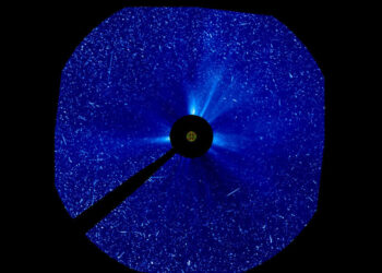
- Payload: C-band synthetic aperture radar (SAR) for day-night, all-weather imaging
- Constellation: Forms an operational pair with Sentinel-1C; six-day global revisit
- Continuity: Phased handover to replace Sentinel-1A
- Industry: Radar instrument built by Airbus in Friedrichshafen
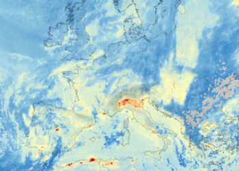
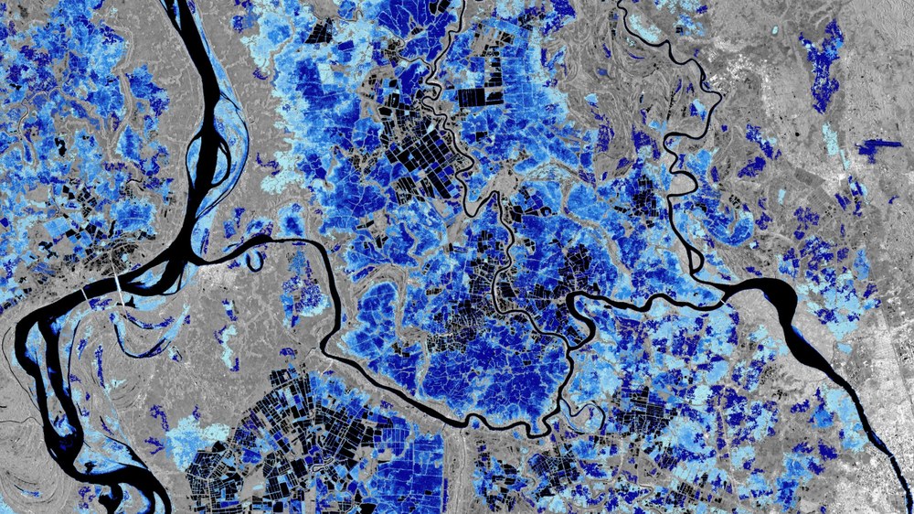
Copernicus Sentinel-1 provides high-resolution SAR data irrespective of cloud cover or illumination, enabling routine imaging of Earth’s surface. The mission supports applications across emergency management, maritime surveillance, infrastructure monitoring, and environmental services. The open-data policy underpins a growing ecosystem of public services and commercial applications across Europe.
DLR-led SAR calibration and commissioning
Commissioning activities are underway with teams at DLR’s Oberpfaffenhofen site. The DLR SAR Calibration Center at the Microwaves and Radar Institute has served as the central calibration facility for Sentinel-1 since 2014 and will perform radiometric and geometric calibration for Sentinel-1D. The programme builds on heritage methods from TerraSAR-X and TanDEM-X, refined for Sentinel-1 accuracy requirements.
Calibration uses high-precision, remotely controlled reference targets — transponders and corner reflectors — deployed across a swath more than 100 kilometres wide west of Munich. DLR’s Earth Observation Center will verify geometric fidelity, assess image quality, and quantify noise over low-backscatter ocean areas to confirm data meet interferometric standards. This process starts immediately after initial health checks and continues throughout the satellite’s operational life to ensure stable, comparable data across the constellation.
Key applications and value for users
- Disaster and risk: Rapid flood mapping, landslide detection, and support to crisis response
- Infrastructure and ground motion: Measurement of millimetre-scale subsidence and uplift for transport corridors, urban areas, and critical assets using radar interferometry
- Oceans and coasts: Oil spill detection, sea-ice tracking, and shoreline change monitoring
- Maritime awareness: Detection of ship traffic, including vessels not visible in public tracking systems
Recent analyses based on Sentinel-1 archives indicate that a large portion of the global fishing fleet does not appear in public tracking systems, highlighting the role of SAR in revealing unreported activity and supporting resource management and safety at sea.
What to watch next
- Completion of platform checkout and SAR instrument functional testing
- Radiometric and geometric calibration using DLR’s ground reference network near Munich
- Qualification of interferometric performance and harmonisation with Sentinel-1C
- Ramp-up to routine acquisitions and re-establishment of six-day global coverage
As a core element of Europe’s Earth observation infrastructure, Sentinel-1D strengthens long-term service continuity for Copernicus users in government, research, and industry. Data will continue to be openly available, with national platforms such as Germany’s CODE-DE supporting access and processing. For full mission details and DLR’s calibration role, see the official announcement: DLR news release.