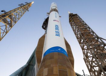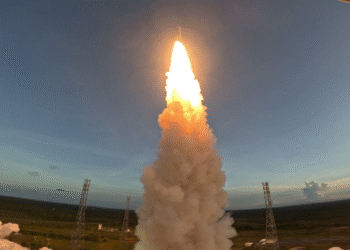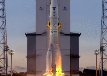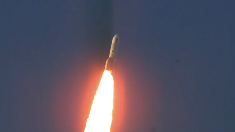
Europe’s heavy-lift Ariane 6 has deployed the Copernicus Sentinel-1D radar satellite, strengthening Europe’s flagship Earth-observation constellation. Liftoff occurred on 4 November 2025 at 22:03 CET (18:03 local time) from Europe’s Spaceport in French Guiana on flight VA265, adding capacity for all-weather, day-and-night surface imaging and maritime monitoring.
Constellation upgrade and sensors
Sentinel-1D joins the Sentinel-1 mission in orbit and will operate in tandem with Sentinel-1C, flying in the same orbit but approximately 180 degrees apart to optimize global coverage and data delivery. Each satellite carries a C-band SAR (synthetic aperture radar) for high-resolution imaging through cloud, smoke, and darkness. Both are also equipped with an onboard AIS (Automatic Identification System) receiver to augment detection and tracking of ships by collecting data on vessel identity, position, and heading.
- Disaster mapping and rapid situational awareness during floods, storms, and volcanic events
- Maritime domain awareness, including ship detection, anti-dark shipping analytics support, and ice navigation
- Environmental monitoring of forests, wetlands, and sea ice
- Surface deformation assessment for infrastructure and geohazards via radar interferometry
Launch and early operations
- Date and time: 4 November 2025, 22:03 CET (18:03 local time)
- Launch site: Europe’s Spaceport, French Guiana
- Vehicle and mission: Ariane 6, flight VA265
Following separation, Sentinel-1D will undergo commissioning before entering routine operations alongside Sentinel-1C. The dual-satellite configuration is designed to increase observation frequency and reduce data gaps for time-critical applications. The AIS payload is expected to enable more frequent observations of vessel traffic, improving precision in tracking patterns and enhancing maritime safety and compliance monitoring.
Industry significance
This deployment reinforces continuity for the Copernicus program’s radar imaging services and demonstrates Ariane 6’s role in delivering operational Earth-observation payloads. Expanded C-band SAR and AIS coverage supports users across disaster response, environmental protection, maritime authorities, and climate services that depend on consistent, frequent, and weather-independent measurements.
Source: ESA multimedia page.