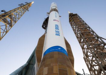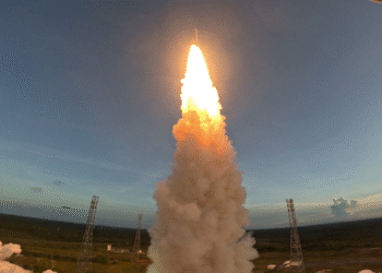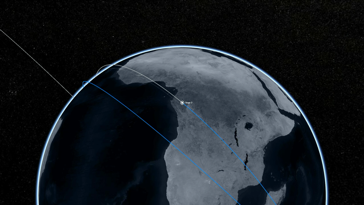
SpaceX’s Falcon 9 upper stage has entered a planned coast phase of approximately 40 minutes ahead of a final, one-minute burn that will place its payloads onto their required trajectories for deep-space operations. According to a NASA mission update, the Interstellar Mapping and Acceleration Probe (IMAP) is expected to separate from the rocket shortly before 9 a.m., with subsequent deployments to follow.
What’s Riding on Falcon 9
The mission carries a set of heliophysics and space-weather assets intended to strengthen scientific insight and operational monitoring:
- IMAP: A NASA observatory that will map the boundaries of the heliosphere and study how it interacts with the local interstellar medium. IMAP will also provide near-real-time observations of solar wind and energetic particles.
- Carruthers Geocorona Observatory: A NASA instrument suite focused on imaging the ultraviolet glow of Earth’s exosphere, known as the geocorona, to improve understanding of how solar activity influences the outermost reaches of the atmosphere.
- SWFO-L1: NOAA’s Space Weather Follow On – Lagrange 1 observatory, equipped to monitor solar wind conditions, measure thermal plasma and magnetic fields, and detect coronal mass ejections using a Compact Coronagraph.
Timeline and Separation Events
The upper-stage coast period is designed to precisely time the brief second burn, optimizing deployment geometry and energy for the outbound trajectory. IMAP’s separation is slated for shortly before 9 a.m., after which additional spacecraft deployments will occur as the stack transitions to mission-specific orbits and transfer paths.
- ~40-minute coast on Falcon 9 second stage
- ~1-minute final burn to set departure conditions
- IMAP separation shortly before 9 a.m.
- Subsequent payload separations and commissioning
Science and Operations Impact
IMAP will chart particle populations across the heliosphere and at its boundary, informing models of particle acceleration and transport that affect both scientific understanding and operational space weather resilience. Near-real-time particle and solar wind measurements are expected to support risk assessments for spacecraft and crewed exploration systems, including those tied to the Artemis campaign.
The Carruthers Geocorona Observatory will advance knowledge of the exosphere’s response to solar drivers. The geocorona was first imaged during Apollo 16 using a lunar-deployed telescope designed by George Carruthers; today’s ultraviolet imaging builds on that heritage to refine atmosphere–space coupling models.
NOAA’s SWFO-L1 will head to the Sun–Earth Lagrange Point 1, a gravitationally balanced location providing continuous solar monitoring. Its in-situ measurements and coronagraph imagery are designed to enhance early warning for potentially disruptive space weather events, aiding satellite operators, navigation services, and power grid stakeholders.
Why It Matters
The combined dataset from IMAP, SWFO-L1, and Earth’s exosphere imaging will help close critical gaps between heliophysics research and operational forecasting. Together, these platforms aim to improve the community’s ability to characterize solar activity from its origin to its impacts near Earth and throughout the inner solar system.