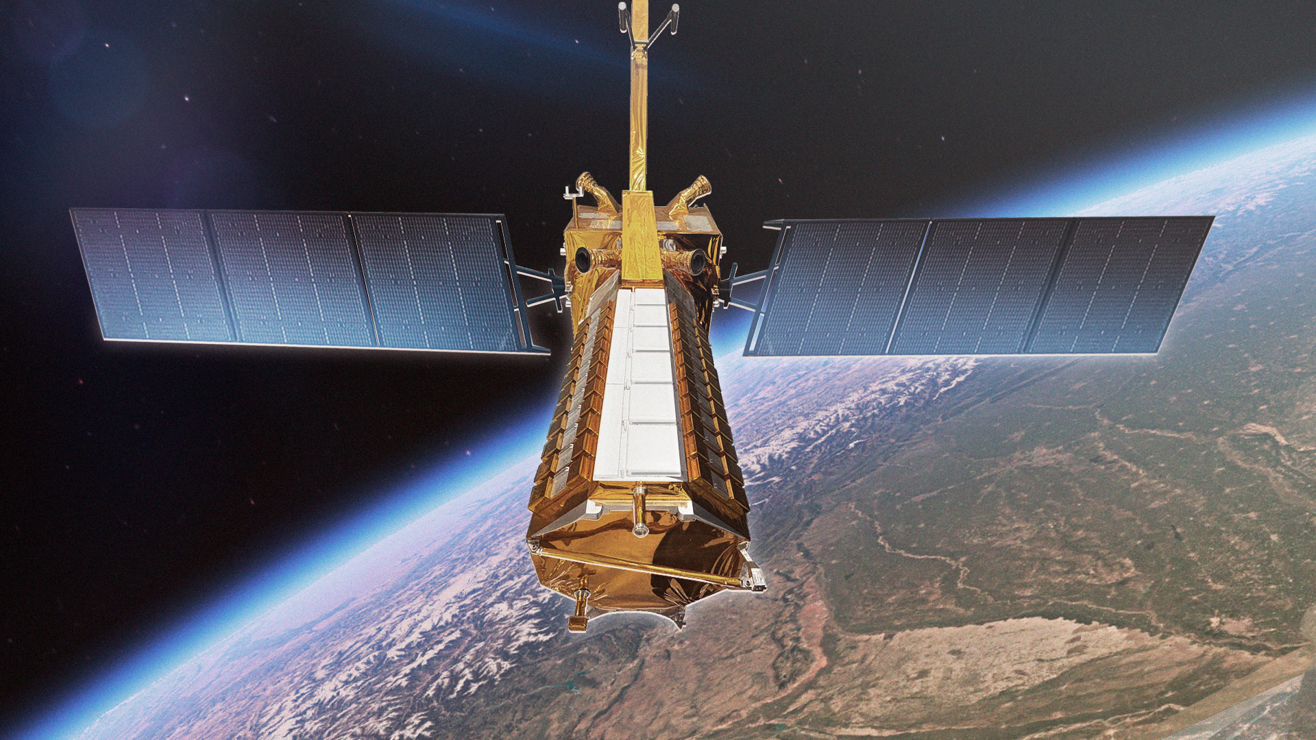
NASA and ISRO are collaborating on the NISAR mission, a satellite venture that stands for NASA-ISRO Synthetic Aperture Radar. This mission is poised to be a monumental initiative in earth observation by employing advanced radar systems to capture detailed images of Earth’s land and ice. NISAR aims to provide critical data for understanding climate change, managing natural resources, and monitoring natural disasters.
The mission will utilize cutting-edge radar technology to conduct comprehensive earth observation. The NISAR satellite is expected to provide a reliable and consistent source of data, which will help scientists track changes in the Earth’s surface with unprecedented accuracy. It promises to have a significant impact on numerous fields, including agriculture, forestry, and disaster response.
Key Objectives of NISAR
- Monitor Earth’s cryosphere, including ice sheets, glaciers, and permafrost, contributing crucial data to climate models.
- Observe land surface changes such as agricultural activities, forest cover dynamics, and urban infrastructure development.
- Support disaster management efforts by providing timely information about natural hazards like earthquakes, landslides, and floods.
The mission is a testament to the power of international collaboration in advancing our understanding of Earth systems and addressing global challenges. By pooling expertise and resources, NASA and ISRO are set to achieve groundbreaking results that could pave the way for future collaborative efforts in space exploration and research.
For more detailed information about the mission, you can visit the official NASA Science link.