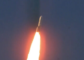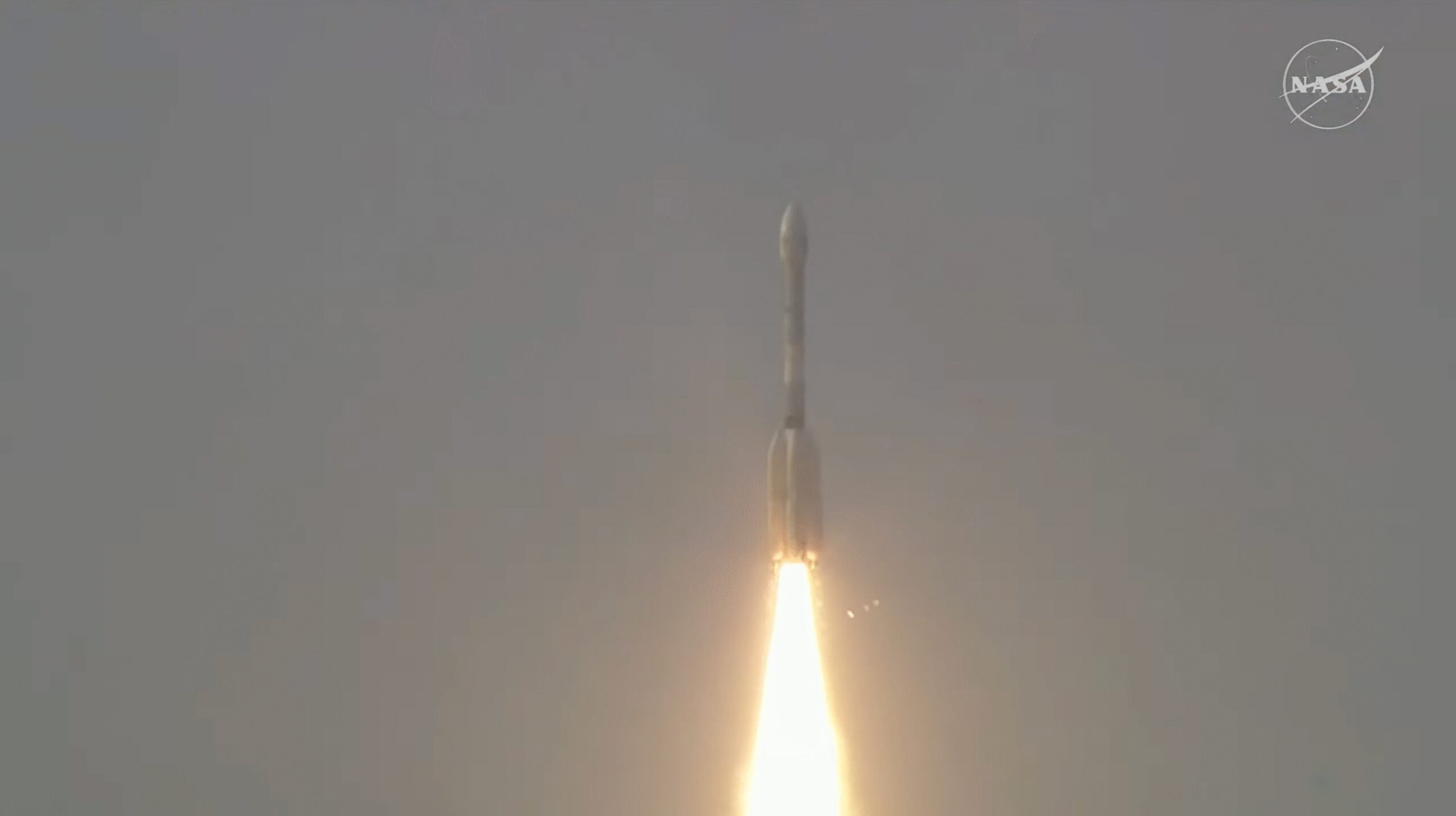
The **NASA-ISRO Synthetic Aperture Radar** (NISAR) satellite was successfully launched from India, marking a significant milestone in space collaboration between the United States and India. This joint mission between **NASA** and the **Indian Space Research Organisation** (ISRO) aims to provide critical data regarding Earth’s changes. NISAR is designed to help scientists understand natural phenomena like earthquakes, tsunamis, and volcanoes by measuring subtle shifts in the Earth’s surface. These insights are expected to aid in improving response and preparedness strategies.
Mission Objectives
The main objectives of the NISAR mission include:
- Mapping the movement of Earth’s surface, including the dynamics of ice sheets and glaciers.
- Monitoring natural disasters and their after-effects.
- Providing data that contributes to agricultural management, forestry, and biodiversity monitoring.
Technological Innovations
The NISAR satellite boasts several technological innovations developed by both NASA and ISRO. These include:
- A large deployable mesh reflector that will enable a dual-frequency radar to map the Earth.
- Advanced radar imaging technology that can capture detailed images regardless of the time of day or weather conditions.