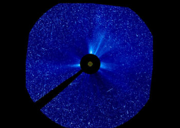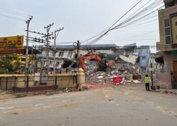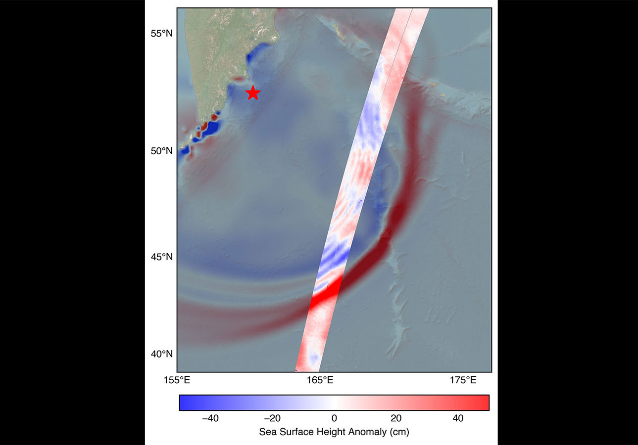
The US-French SWOT satellite plays a crucial role in enhancing tsunami forecasting capabilities by capturing detailed observations from space. Recently, it provided valuable data following a massive earthquake, demonstrating its potential in disaster management.
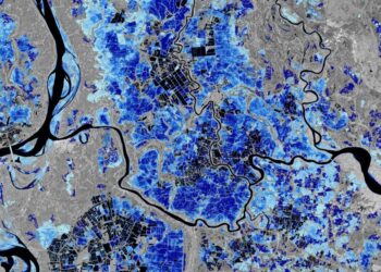
SWOT’s primary mission is to measure the height of water bodies globally, including oceans, lakes, and rivers. By doing so, it helps researchers understand how these systems contribute to climate change and manage water resources effectively.
Key Observations and Advantages
The satellite can detect changes in sea levels with unprecedented precision, which is vital for assessing tsunami strength and potential impact. Some of its key features include:
- The ability to cover large swathes of the planet’s surface, providing comprehensive data.
- The capability to deliver real-time data analysis, which is crucial during emergencies.
Technological Significance
The SWOT satellite’s technology significantly enhances the accuracy of tsunami predictions. This is primarily due to its ability to capture high-resolution images, which give a clearer picture of how seismic activities impact the ocean’s surface elevation.
Accurate forecasting of such natural disasters can help in timely evacuations and mitigating hazards to coastal populations. This collaboration between US and French scientists underscores the importance of international cooperation in addressing global challenges.
For more detailed information, please visit the original article.